8
Days
LEMOSHO ROUTE
8 DAYS - LEMOSHO ROUTE
Tour Highlight
The Kilimanjaro climb 8 days lemosho is the best for acclimatization. The remote is less used and beautiful way up to the Shira Plateau. The minimum duration for the Lemosho route is 6 days, however we strongly recommend hiking the route in 8 days.
The additional 8th day will give your body more time to acclimatize, reducing the effects of altitude sickness and give you more time to rest before attempting the summit
Full Itinerary
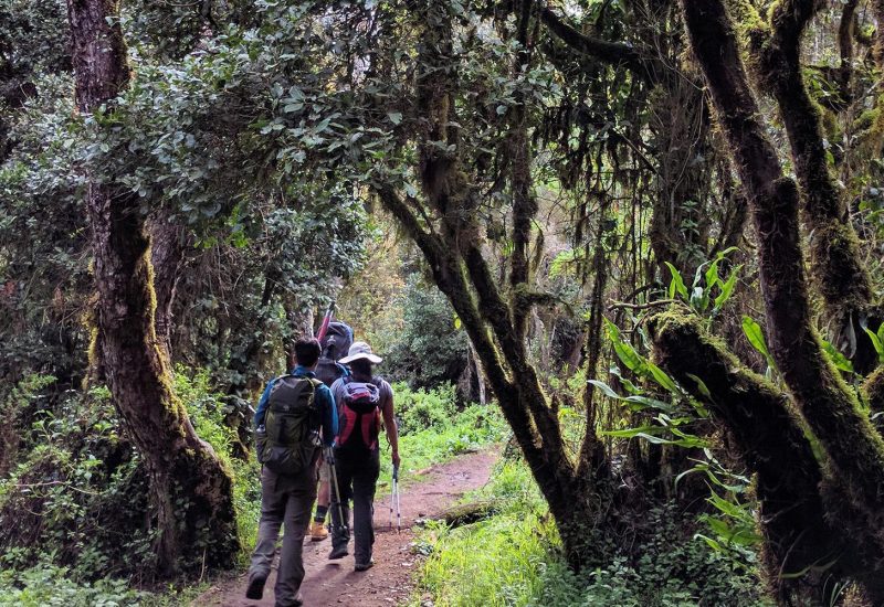
Day 1: Drive to Kilimanjaro National Park Londorossi Gate, Hike to Mti Mkubwa Camp
Elevation: 1830m/6000ft to 2650m/8700ft
Distance: 6km/4miles
Hiking Time: 2-3 hours
Habitat: Montane Forest
After breakfast and briefing, drive to Londorossi Park Gate (3-hour drive). From here 4WD vehicle leads will pick you to Lemosho Glades.
Walk along forest trails to Mti Mkubwa (big tree) campsite.
Day 2: Hike Mti Mkubwa Camp to Shira 1 Camp
Elevation: 2650m/8700ft to 3500m/11,500ft
Distance: 8km/5miles
Hiking Time: 4-5 hours
Habitat: Moorland
After breakfast, we continue as the trail gradually steepens and enters the giant heather moorland zone.
After several streams are crossed we continue over the Shira Ridge then gently downwards to Shira 1 camp located by a stream on the Shira Plateau.
Day 3: Hike Shira 1 Camp to Shira 2 Camp
Elevation: 3500m/11,500ft to 3850m/12,600ft
Distance: 8km/5miles
Hiking Time: 4-5 hours
Habitat: Moorland
After breakfast, a gentle hike across the plateau leads to Shira 2 camp on moorland meadows by a stream.
A variety of hikes are available on the Plateau, making this an excellent acclimatization day.
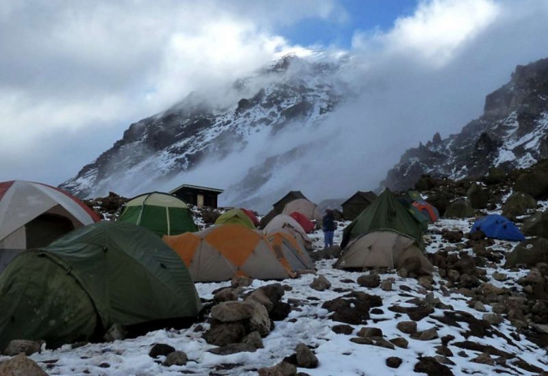
Day 4: Hike Shira 2 Camp to Barranco Camp
Elevation: 3850m/12,600ft to 4000m/13,000ft
Distance: 8km/5miles
Walking Time: 5-6 hours
Habitat: Semi-desert
From the Shira Plateau we continue to the east up a ridge, passing the junction towards the peak of Kibo. As we continue, our direction changes to the South East towards the Lava Tower, called the “Shark’s Tooth” (elevation 4650m/15,250ft).
Shortly after the tower we come to the second junction, which goes to the Arrow Glacier. We now continue down to the Barranco Camp. Although you end the day around the same elevation, as when you began, this day is very important for acclimatization and will help your body prepare for summit day.
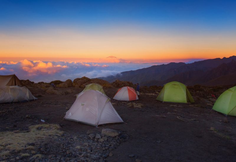
Day 5: Hike Barranco Camp to Karanga Camp
Elevation: 4000m/13,000ft to 4050m/13,250ft
Distance: 5km/3miles
Hiking Time: 34 hours
Habitat: Alpine Desert
Cross the lunar desert of the ‘Saddle’ between Mawenzi and Kibo to reach Kibo campsite at the bottom of the Kibo crater wall.
The remained day will be spent resting in preparation for the final ascent early in the morning.
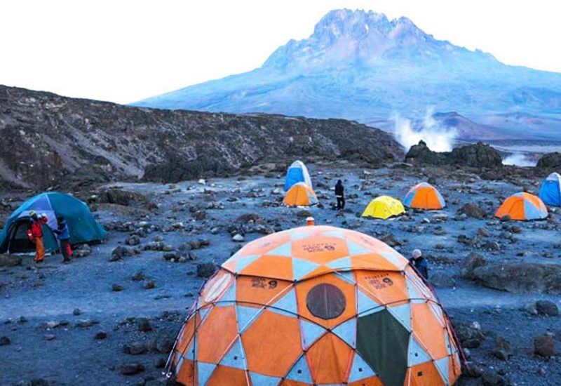
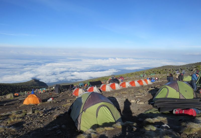
Day 6: Hike Karanga Camp to Barafu Camp
Elevation: 4050m/13,250ft to 4700m/15,350ft
Distance: 4km/2miles
Hiking Time: 3-4 hours
Habitat: Alpine Desert
We continue up to the Barafu Camp. South Circuit will be completed, which offers views of the summit from many different angles. Here we make camp, rest, enjoy dinner, and prepare for the summit day.
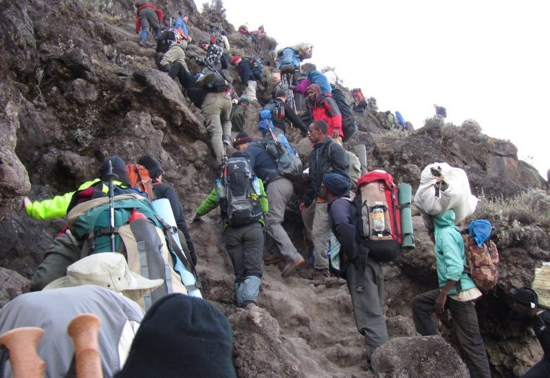
Day 7: Hike Barafu Camp to Summit, down to Mweka Camp
Elevation: 4700m/15,350ft to 5895m/19,340ft
Down to 3090m/10,150ft
Distance: 5km/3miles up / 13km/8mi down
Hiking Time: 5-7 hours up / 5-6 hours down
Habitat: Stone scree and ice-capped summit
Very early in the morning, we will continue our way to the summit between the Rebmann and Ratzel glaciers. You head in a northwesterly direction and ascend through heavy scree towards Stella Point on the crater rim. This is the most challenging portion of the trek. At Stella Point you will have a short rest and rewarded most magnificent sunrise ever seen.
From Stella Point, you may encounter snow all the way on your 1-hour ascent to the summit (Uhuru Peak) highest point on Mount Kilimanjaro.
From the summit we begin to descent by continuing straight down to the Mweka Camp, stopping at Barafu for lunch. You may want gaiters and trekking poles for the loose gravel going down. We arrive at Mweka Camp and enjoy our last evening on the mountain.
Day 8: Mweka Camp – Mweka Gate – Moshi
Elevation: 3106m/10,190ft to 1633m/5358ft
Altitude lost: 1473m
After breakfast and a heartfelt ceremony of appreciation and team bonding with your crew, it’s time to say goodbye. We continue the descent down to the Mweka Park Gate to receive your summit certificates.
As the weather is drastically warmer, the terrain is wet, muddy and steep and we highly recommend Gaiters and trekking poles. From the gate, a vehicle will meet you at Mweka village to drive you back to your hotel in Moshi
Related Tours
Other Tours
- Price Included
- Special campsites according to the itinerary
- Transportation in a 4×4 safari vehicle
- Professional, English-speaking guide
- Overnight accommodation according to the itinerary
- Meals according to the itinerary
- Mineral water
- All mentioned activities
- All national park fees
- Flying Doctors insurance (AMREF) during the safari
- Price Excluded
- Flights
- Optional activities
- Alcoholic Drinks
- Visa fees
- Tips
- Personal spending money for souvenirs etc.
- Travel insurance
MOST POPULAR ARTICLES
- Why Tanzania?
- What the Best time to visit Tanzania?
- Cancellation policy
- Do I Need Visa?
- Do I need to purchase travel insurance?
- Vaccination
- What is AMREF Flying Doctors Insurance?
- Can I use my credit card in Tanzania?
- Is it safe traveling with children?